Why Did Silk Road Routes Go Around the Taklamakan Desert?
Why did Silk Road routes go around the Taklamakan Desert instead of cutting straight through it? Geography made the answer surprisingly practical: the great trade network followed chains of oasis settlements around the desert’s edges because water, food, markets, and political control were concentrated there.
The Taklamakan is central to The Silent Guardian’s Chapter 7 setting, where the landscape becomes part of Adam’s confrontation with time, isolation, and survival. The real geography helps explain why this location has carried such a powerful reputation for centuries.
Where is the Taklamakan Desert?
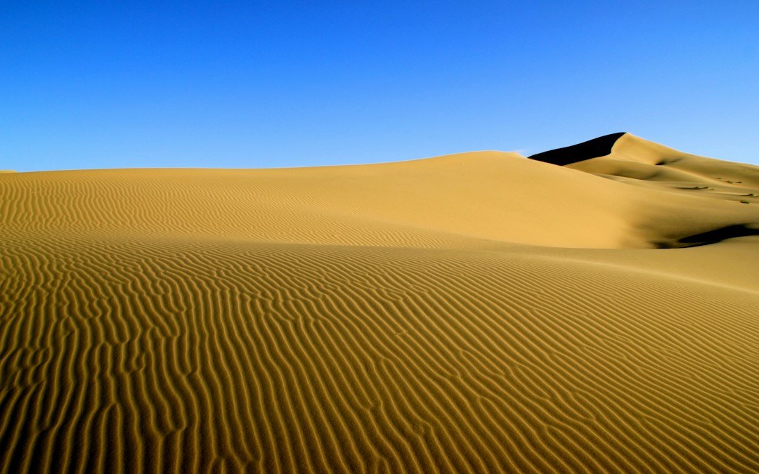
The Taklamakan lies in the Tarim Basin in what is now Xinjiang. Encyclopaedia Iranica describes it as the largest desert in China, with a core dominated by shifting sand dunes and a ring of oases around its edges.
That ring is the key. The desert was not simply an empty obstacle between China and Central Asia. It was surrounded by settlements that became natural stopping points for travelers moving along the Silk Roads.
Why not take the shortest route through the middle?
On a map, a straight line can look efficient. Historical travel did not work that way. A route had to connect dependable places where people and animals could rest, resupply, trade, and receive news about conditions ahead.
UNESCO descriptions of Silk Road routes show northern and southern branches skirting the Taklamakan through oasis towns before reconnecting farther west. The shape of the network reflects the geography: travelers followed survivable corridors rather than geometric shortcuts.
The northern and southern routes
From the region around Dunhuang, routes split around the desert. Northern branches passed through oasis centers such as Turfan and Kucha, while southern branches connected places including Miran, Khotan, and Yarkand before routes converged toward Kashgar.
These were not fixed lines painted on the ground. Routes changed over time as political power, climate, security, and local economies changed. “The Silk Road” is best understood as a shifting network rather than a single road with one permanent itinerary.
Why the Taklamakan gained a fearsome reputation
The desert’s scale, moving dunes, scarce water in its interior, and severe weather made it a formidable landscape. That difficulty helped produce dramatic nicknames and stories about travelers disappearing into the sands.
Popular descriptions sometimes translate Taklamakan as something like “place of no return,” but the name’s exact origin is debated. Iranica notes a likely connection to roots associated with leaving or relinquishing a place, which is more cautious than many modern legends.
Oases were part of the trade system
Oasis towns did more than keep travelers moving. They became markets, cultural crossroads, religious centers, and places where languages and ideas mixed. The geography of water helped shape the geography of commerce.
That is also why estimating ancient journey times is complicated. Our guide to how long it took to travel the Silk Road explains why merchants usually moved in stages rather than making one uninterrupted east-west trip.
The Taklamakan in The Silent Guardian
For a time-travel story, the Taklamakan offers an unusually effective contrast. A character may have access to impossible knowledge about other centuries, yet still be constrained by an ancient landscape. Time can be crossed in an instant, while geography still demands patience.
That tension is part of what makes The Silent Guardian’s desert sequence work: the setting is not a generic sea of sand but a real historical boundary that shaped movement between China and Central Asia.
The takeaway
Silk Road routes went around the Taklamakan Desert because trade followed viable networks of oasis settlements. The northern and southern branches were shaped by water, markets, terrain, and changing political conditions. What looks like a detour on a modern map was the route that made long-distance exchange possible.
For additional historical context, see Encyclopaedia Iranica’s Taklamakan overview and then continue reading The Silent Guardian online.